JULY 1st 2027 SOLO
JULY 3rd 2027 FULL
THE SWEDEMAN COURSE
-
Encounter undercurrents and temperature changes to keep you alert and on your toes!
3.8 kilometres in Öster-Noren, finishing under Sweden's largest waterfall.
Average water temperature for July should be around 15 degrees Celsius.
Athletes will run up a steep 400 m long track to access T1 above the waterfall.
-
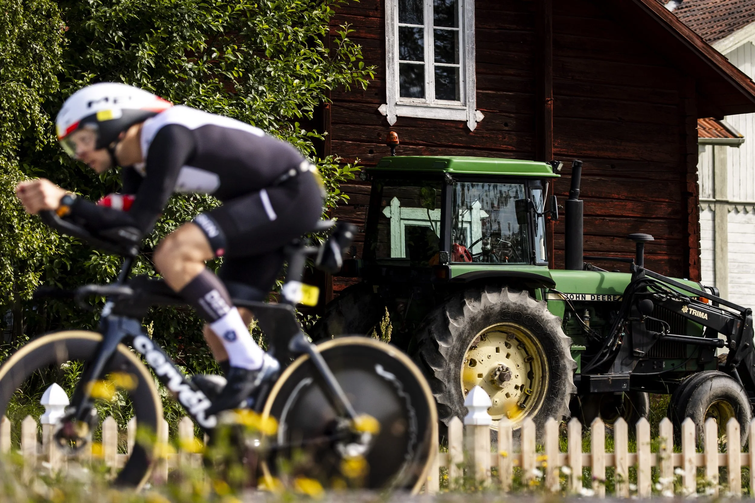
The road to the wilderness! Travel 205 kilometers from Tännforsen along an incredible course with rolling and deceptive climbing, totalling nearly 2000m of ascent.
You will likely encounter large wildlife including reindeer and moose so be careful out there!
-
From T2 the run starts on paths and technical trails towards Huså.
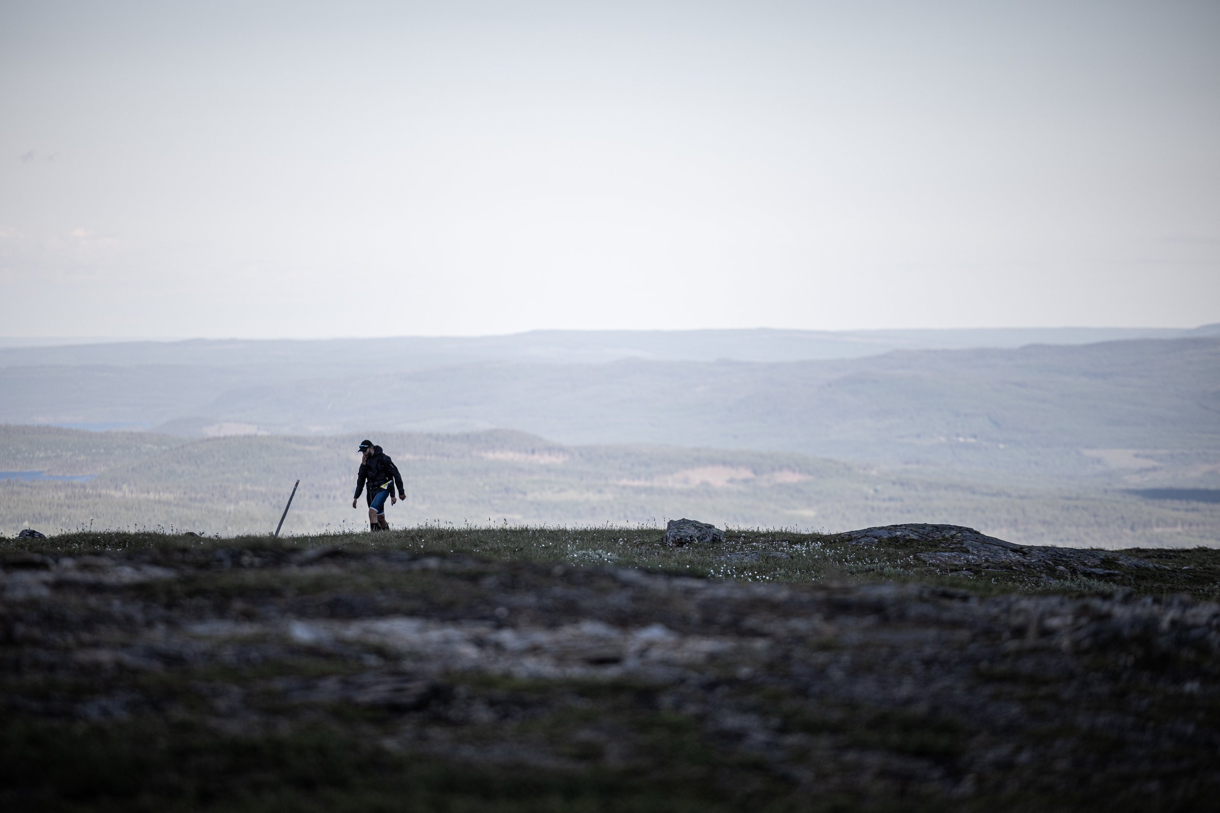
The course climbs and is remote and wild so we insist that you carry your safety kit on this section.
Climbing up towards Lillskutan you will run above the tree line for the first time during the run. This section has some fantastic singletrack that will allow for great views if the weather is clear. In the distance, in north-west, you can see the top of Åreskutan. But that’s for later!
There can be fields of snow on the trail or right next to it, which can make for an icy run.
During the next 12 kilometres you will need to be accompanied by your support runner.
The total climb from T2A to the top of Åreskutan is 800 meters. Passing the top of Åreskutan and Toppstugan, the tiny waffle house, may give you a view over Åre village below and the mountain ranges in the distance, if the weather cooperates. If not, you’ll be happy to see your own feet.
A last rocky kilometer of descent is what stands between you and the cable car top station.
You will then follow marked trails back down to the finish (be careful!).
Everything you need to know!
Download the Swedeman Event Manual and learn all there is about entering and competing in this incredible race.